Choose a day boat for the main stops, a cabin for more time among the islands, or a dedicated dive boat for the reefs.
Start in Labuan Bajo in western Flores for a day boat to Padar, a ranger walk on Komodo Island and Pink Beach. A published route listed 07:00–16:00 local time on 19 November 2026, so arrive the day before for morning boarding.
At Loh Liang on Komodo Island, trails leave the bay for dry woodland. On Rinca, the raised walkway at Loh Buaya links the jetty and visitor centre in a valley of scrub and woodland used by dragons. A route that names Loh Liang puts you on Komodo Island. The ranger chooses a trail according to conditions that day.
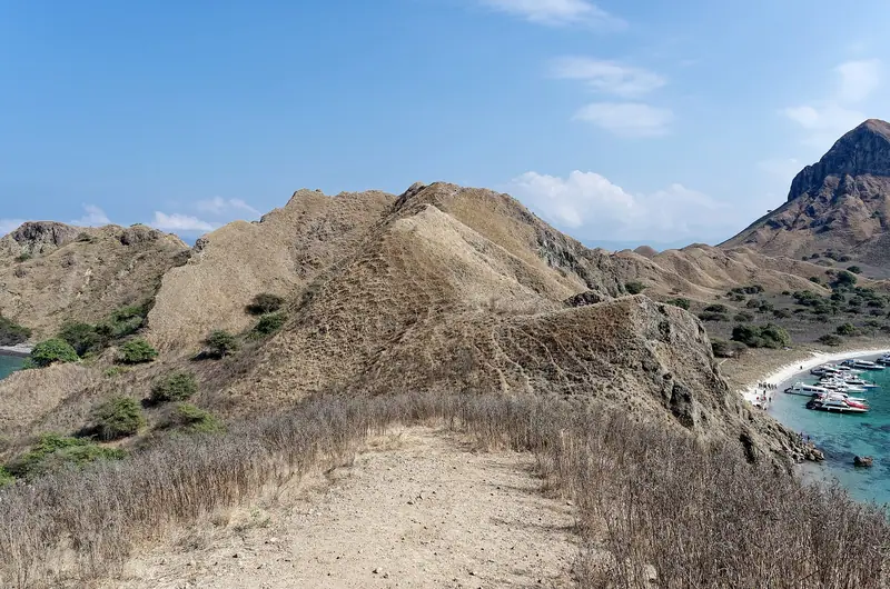
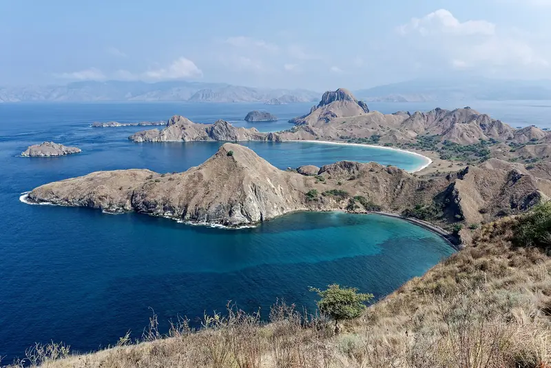
The stairs from South Padar pier climb an open ridge above the island's bays. Trail reports put the full climb at about 800 steps. The boat's landing window has to fit both the climb and the walk back to the pier. A lower viewpoint can be a practical place to turn around.
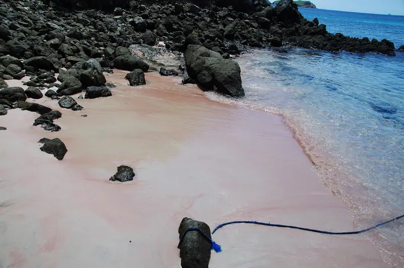
Red grains mixed into light sand give Pantai Merah its colour. A 2022 study rated the site suitable for beach visits and snorkelling. The crew directs water entry over sand. Pantai Merah is on Komodo Island, and Long Beach is on Padar. Itineraries can describe either landing as Pink Beach.
An offshore stop with a guided swim in suitable water
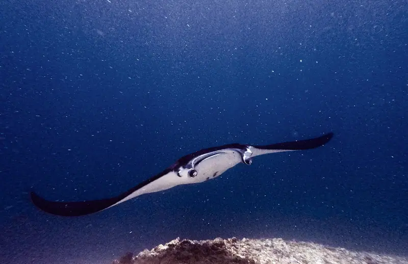
Karang Makassar, also called Manta Point, is one of the central park sites in a study of reef mantas. Researchers documented it as a place where mantas feed and visit cleaning stations. The crew assesses surface conditions before putting swimmers in from the boat and may change the stop if the water is rough.
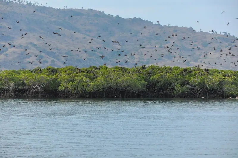
Flying foxes can leave Kalong's mangroves to feed as daylight fades. Passengers watch from the boat after it reaches the anchorage, where crews on a dusk route wait for the bats. One published overnight route calls at Kalong on the first evening and lists Padar for sunrise the next morning.
Walk from the landing into dry forest with a ranger. The short trail from Loh Liang is around 1.5 to 2 km. The ranger picks the open trail that fits your visit.
Choose an address with your boat's meeting point in mind.
The town centre makes the best starting search for an early meet at the harbour. Pede Beach and Waecicu work well for a coastal stay with arranged transport.
Get the exact pier and pickup time before you book an early boat.
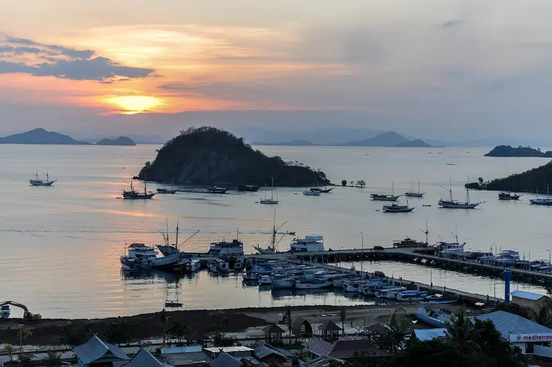
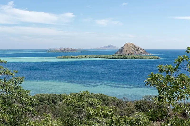
Komodo National Park is off the western end of Flores in Indonesia. Komodo, Rinca and Padar are the main islands in UNESCO’s description. Landscapes range from dry slopes above the sea to coastal mangroves and coral habitat underwater. The passenger day starts in Labuan Bajo, a town on Flores. The boat is your way between separate landing and swimming points. The time you spend getting between them affects which mix of activities you can do.
Komodo is also the name of one island and of the dragon. A tour that advertises “Komodo” can go to more than one island. Some come to Komodo Island itself, and others go to Rinca for the ranger walk. Padar is the sight with the high ridge above sweeping bays. A route with both Padar and a dragon walk combines two separate landings, potentially with a different transfer at each. The island map shows how they fit together.
Komodo in brief
What
Checked figure or detail
What it means for a trip
World Heritage listing1
1991
Visit a protected landscape with both marine and land habitats
Listed property area1
219,322 hectares
Islands and water; allow travel time between stops
Main islands1
Komodo, Rinca and Padar
Plan for a separate activity at each landing
Published example of a full day2
07:00–16:00 WITA
An early boat is easier after a night in town
Padar climb example3
10–40 minutes up
Allow time to descend and rejoin the crew
These are sample trip times. Sightseeing routes vary in how much time they set aside for each landing.Checked · Sources: 123
Loh Liang on Komodo Island is a bay and ranger station. Jetty, information and shelter facilities are documented in Indonesia’s parliamentary site-visit report. The historical management plan describes woodland on a short walk and a view over the bay on a medium route. The ranger gives the briefing and chooses where your group can go. A boat’s time at the landing includes the walk from the pier to the briefing point and back. The short Loh Liang trail runs around 1.5 to 2 km, so the ranger and crew account for how much time the group has inland.
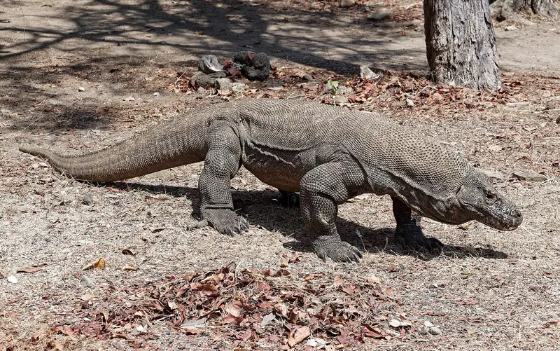
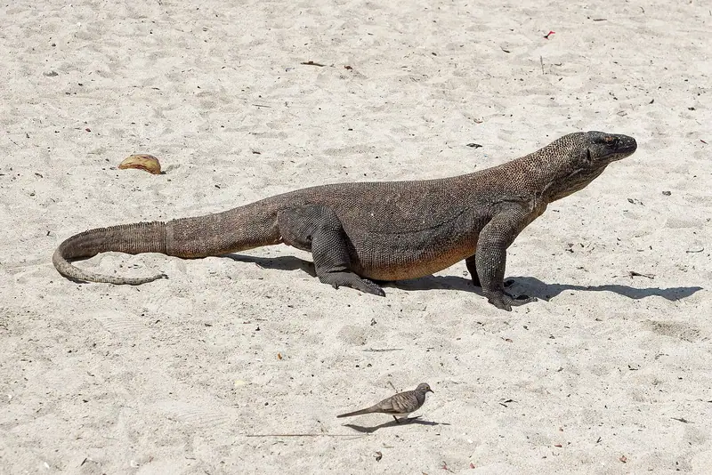
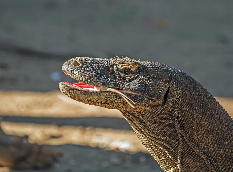
In the seasonal woodland, a pause near the trail can be good for looking for movement, or for hearing the ranger’s explanation of what lives there. Dragons choose to move and rest according to conditions. Plan for the habitat walk and treat the animals you encounter as part of that visit. A published six-stop day trip has less room to extend the dragon walk than a boat with fewer stops. On a private trip the crew can plan more time ashore around the booked landing.
Rinca shore and valley
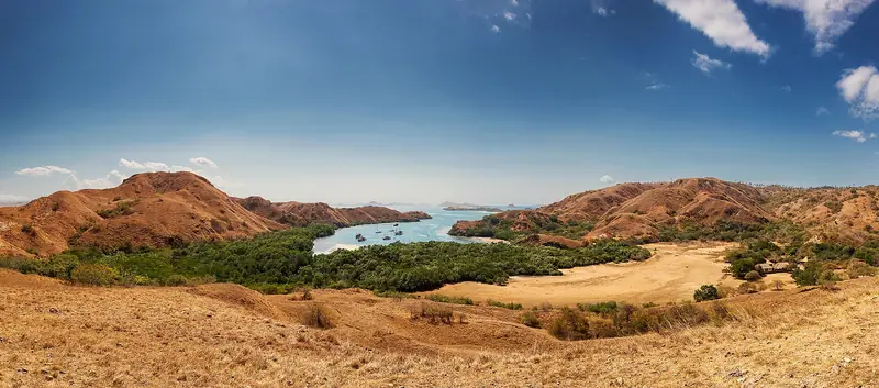
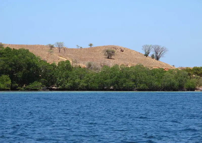
At Loh Buaya on Rinca, mangroves line the coast and open ground extends into a valley behind the usual dragon landing. A raised visitor walkway separates part of the visitor route from ground used by animals. Behind it the management plan describes longer walks in dry woodland and grassland. The visitor route from the jetty reaches the walkway near the information centre. For anyone limiting walking, the boat transfer and the approach from that jetty count toward the outing.
With either station, choose a departure that names the landing. Keeping a record of the intended stop helps when a boat lists several possible routes. The short Rinca loop is about 1.5 to 2 km and the medium route around 3 to 3.5 km. A valley loop takes a larger share of the boat’s time ashore than a walk near the visitor centre. One private seven-hour day trip lists two hours for the Rinca landing before Manjarite and Kelor. The two hours cover the whole stop, including time at the ranger station. If you want to see both islands, look for a longer boat itinerary with each station listed separately.
The Padar view
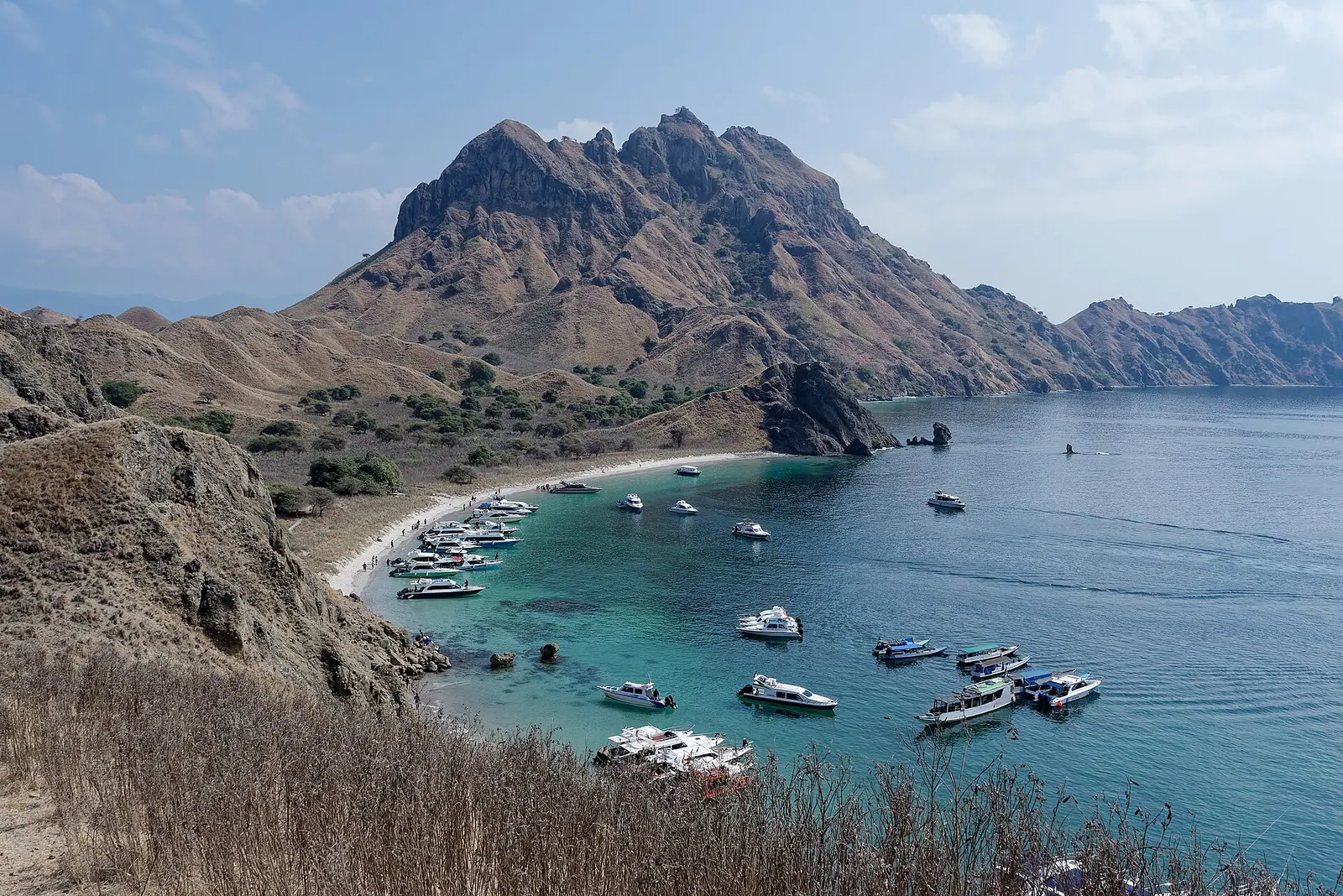
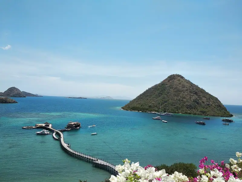
The usual attempt at the well-known view starts from the southern visitor landing. The walk climbs away from the water to viewpoints on the ridge. Looking down from the path, you can see beach arcs on either side and the slopes between them. Much of the appeal of the spot is how those hills divide the water into bays.
South Padar uses timed sessions. A late arrival may cut the climb short or force a change to later stops, so compare the allotted shore time when choosing a boat for this walk. A slot or earliest departure time is helpful if a longer time on the hill matters. To take the climb at your own pace, say so before you join a shared outing and agree where to meet the group. The return walk shares the same shore time.
Pink beaches and sandbar
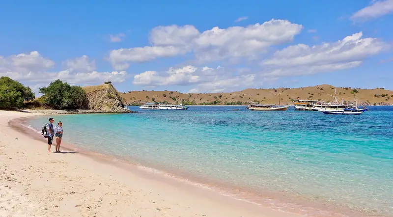
Pink Beach on Komodo Island has pale sand with reddish material mixed through it. The shade looks different with wet sand, light and angle. Some itineraries also name a pink beach by Padar, a separate stop from the beach on Komodo Island. On a South Padar route, Long Beach is a different landing from Pantai Merah. The boat’s time ashore and the transfer from deck will depend on the beach the route uses. You may need to step off a tender or wait offshore before the crew can bring you in.
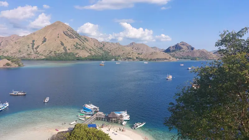
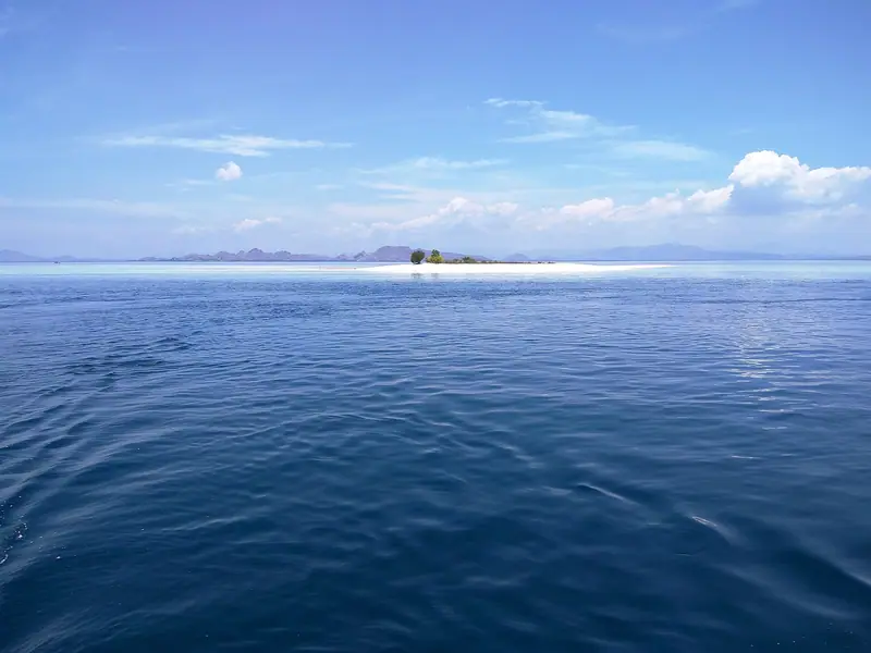
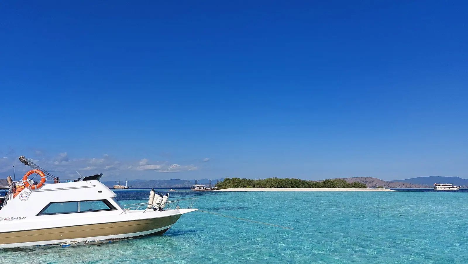
Taka Makassar is a sandbar stop. Its shape at your visit depends on how much land is exposed. This means the captain can approach and look before deciding if passengers can step off. A nearby itinerary line that says Manta Point is often a different water stop. If tide or current closes one activity, the crew may still run the other because the sandbar landing and a nearby swim each have their own entry conditions.
Reef trips and manta sightings
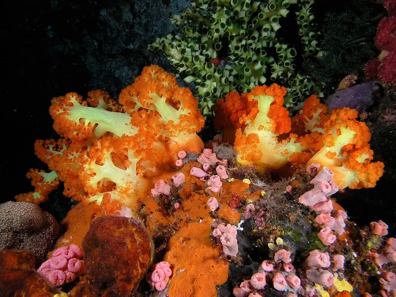
The water settings vary across the park. At Pink Beach, swimming can be part of a shore visit with an agreed area. At central Karang Makassar, encounters with reef mantas take place offshore, with conditions controlling whether a snorkelling group enters. Mawan is another central site, and Manta Alley is farther south. Research follows the same mantas across different sites. The crew can take you to habitat the animals use and decide whether it’s suitable for your group that day.
If your group is interested mainly in reefs, make that the basis of the booking. A sightseeing route divides its time with the climb and land stops. A dive trip has different boats, supervision and site selection. Siaba Besar offers a sheltered option for a first swim. In open water the guide and boat crew control the entry and pickup, and may substitute or skip a site when the current picks up.
Dusk among the mangroves
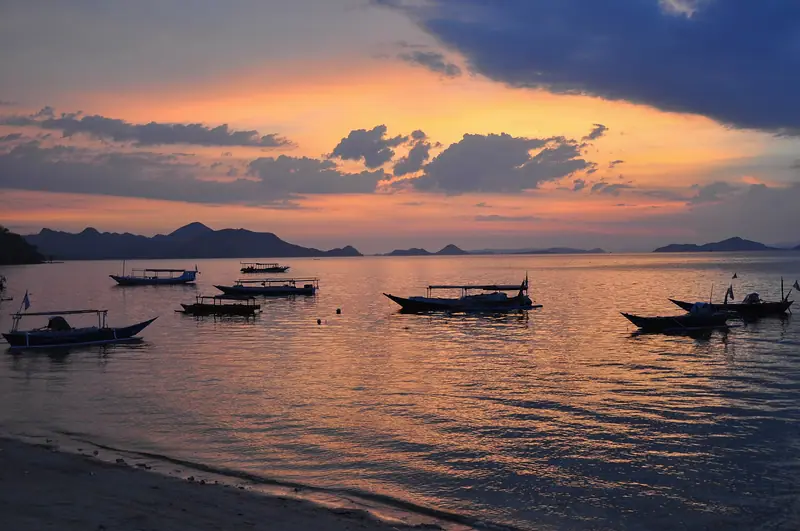
Kalong is an anchorage for seeing flying foxes leave mangroves around dusk. For this stop, the boat is the viewing position. The draw is the animals crossing the sky while the group waits offshore. A published full-day speedboat route ending at 16:00 covers Padar, the ranger walk and Pink Beach during daylight. At Kalong, a dusk departure or a cruise with a named evening call can be at the mangroves when the bats leave. A cruise can place this wait at the end of a day, and some short trips run specifically to include it.
How long to stay
A first day can combine the Padar climb, a ranger visit and a stop at the beach. The published schedule in the table also offers a coastal and open-water part of the trip. A shared speedboat has one departure and return and the whole boat works with the same itinerary. A passenger who skips a swim may stay on board while the crew handles the group in the water. Compare shared and private options in the day boat listings.
Overnight boats spend more time among the islands. Routes vary from shorter voyages that include Kelor, Rinca and a mangrove anchorage to itineraries that cover Padar, Komodo Island and a range of water stops. One published three-day route visits Kelor, Rinca and Kalong on day one, then Padar, Komodo Island and Pink Beach on day two. Taka Makassar and Manta Point follow on the last day. It includes two nights in an air-conditioned cabin, meals and snorkelling equipment. Expect crew choices to depend on weather and the park’s instructions.
If you have extra time, a day ashore makes the boat easier to schedule. It can be an arrival afternoon, a day to wait for weather or the day before an onward flight. Spend some time on the Labuan Bajo waterfront and buy supplies before the sailing. If you will board at the harbour, staying nearby makes an early start simpler. The boat seller and the hotel handle cancellation separately. If you move your sailing to a reserve day, the dates of your room booking can still limit when you can leave town.
Flights, fees and boarding
Komodo Airport in Labuan Bajo is the usual airport for park boats. A flight from Bali to Flores makes a trip across possible. Allow a night before a morning departure, since the flight has to land, you have to leave the terminal, and the boat has its own reporting time. The airline sets the flight schedule and the boat seller sets the boarding time. An included hotel pickup starts earlier than the pier departure. A trip without that transfer gives you a pier meeting point instead.
A boat price can cover hotel pickup, onboard meals and gear, with park costs collected separately. The seller can also include one fee and collect another at the pier. Read the park fees breakdown and get the amount, currency and payment method in writing. A dated SiOra park reservation is separate from the boat booking. South Padar uses a named entry session, so the park record needs to show both the date and the correct landing.
Conditions at each stop
Labuan Bajo can be warm at the harbour while the crew must contend with stronger movement between islands. BMKG publishes a harbour forecast for Labuan Bajo and separate offshore warnings for the waters a boat may cross. The captain decides whether the boat can sail. The park can separately close a landing or limit trail access even when boats can get to the island. A boat cancellation, the loss of a specific landing and a decision to skip a swim can each have different booking terms.
On normal departures, the skipper still needs to make a call about the water at each stop. Staying ashore at Pink Beach, using a shorter trail on Rinca or watching from the deck can be good alternatives for different members of a group. Keep the sailing terms and entry details on your phone offline. They are easier to retrieve when boarding early or at an island without a dependable signal. See the boat safety guide for the onboard equipment and the clearance process at Labuan Bajo.
Boat pickup and departure
Write down the pier name, reporting time, boat name and a contact the crew monitors that morning. On the same note, put your intended ranger station, the first water stop, the park payment amount and where it will be collected. Add a place you would be happy to use as an alternative if the water or landing is unavailable. With a few days in Flores, put the main activity on an early day so you have room to rearrange it.
Come with closed shoes for the climbs, a hat, drinking water and somewhere dry to keep your park reservation. A mask with an unusual fit or prescription is worth bringing yourself. The size and type of the equipment on board vary between boats. A beach stop can give a non-swimmer a place to wait ashore. On an offshore drift stop, remaining on deck depends on the crew’s policy and whether someone can stay aboard with that passenger.
From Labuan Bajo
Day boats into Komodo
A full day can pair the Padar ridge and a ranger walk with time at the beach.
What is the best way to visit Komodo National Park?
Stay in Labuan Bajo and take a day boat for Padar, dragons and a beach stop. Spend nights aboard if you also want a dusk anchorage or longer island itinerary.
Is Komodo National Park on Bali?
No. The usual gateway is Labuan Bajo on Flores, reached by flights from Bali and other cities.
Can I visit for the day?
Yes, from Labuan Bajo. Many routes leave early and return later that afternoon. Allow time in town before boarding.
Are park fees included in the boat fare?
Some fares cover the boat alone. The quote may show separate prices for admission, ranger services and water activities on your route.
Can I see dragons without swimming?
Yes. The ranger walks are on land. People who stay dry still need to board, transfer or use a tender where the vessel cannot dock. The boat’s passenger rules apply at the water stops.
Booking through this button may earn us commission without increasing your price.