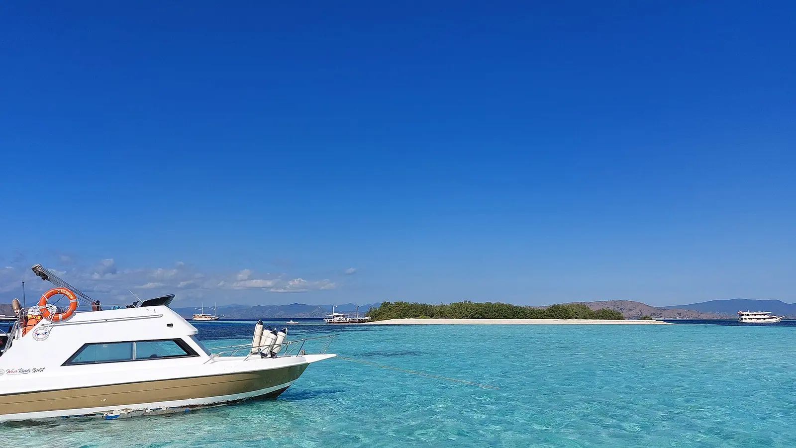
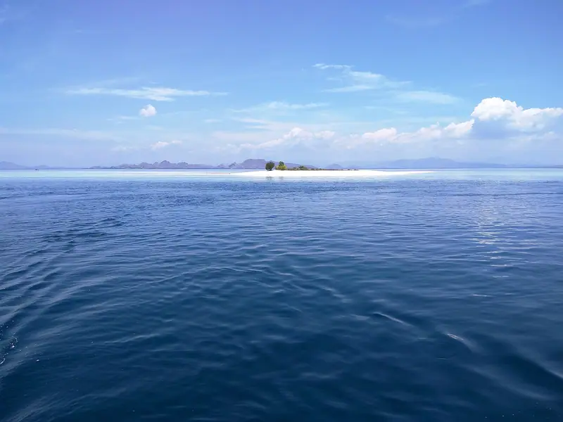
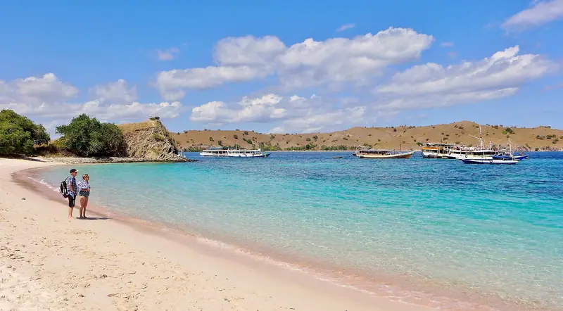
Taka Makassar is a low ridge of sand in the waters of Komodo National Park. At a lower tide the ridge is exposed and the blue and turquoise shallows outline it. At a higher tide you can arrive at the same place and see less sand or none at all. Indonesia Travel calls this an open-water site and tells snorkellers to follow the guide’s advice on tide and current. Tide determines whether the sand is exposed. Current and the local approach to the reef determine whether passengers can enter the water.
Taka Makassar landings and water stops
What to check
Published detail
Sandbar1✓
Sand emerges at low water in Komodo National Park
Access2
Boat only. A low tide can reveal a crescent of sand.
Water conditions3
Open water. Tide and current matter, so follow the guide.
One operator’s snorkel stop4
30–60 minutes. Time and order can change.
Taking sand or coral5
Prohibited without written permission from the park head
You get there by boat from Labuan Bajo, commonly on a route with other park stops. If the main reason for going is the view of bare sand in turquoise water, make that expectation explicit with the crew. It needs to compare local tide at the sandbar with arrival time on your itinerary. A general morning departure tells you little about where the boat will be when the bar is visible. The route might first spend time at Padar or on a ranger landing, or reverse its water stops to work around conditions.
A tide prediction tells you when the level is expected to rise or fall. For a visitor it leaves two further questions. Will enough dry sand be showing for the shore time you want? Will the vessel be able to land people without harming the reef or making a difficult transfer? A captain familiar with the site has to decide the approach, the suitable boarding method and the safe pickup when people are ready to leave.
Decide what to do
At the sandbar
What the stop offers
What affects access
Dry landing
A short walk and photographs from the bar
Transfer method, return time and where the crew will collect you
Difficult landing
A view from aboard or an alternative stop
Whether people who don’t swim can stay aboard and what happens next
Submerged with safe entry
Guided snorkelling in the conditions and area the crew approves
Entry, direction, exit and how the boat tracks people in the water
No landing or swim
A different site or extra time at another stop
Whether it offers the experience you came for or is simply a route change
A local overnight operator describes 30 to 60 minutes for its snorkel at Taka Makassar and says it can reverse the order with Manta Point. Use this as one operator’s example. On a shared boat, transfers and reboarding use some of the scheduled stop. Passengers may need to move in smaller groups if the boat uses a tender. At a rising tide the visible strip can shrink over the course of the visit, leaving a view from the boat even on a route that sometimes lands. You can then judge whether a view from the deck will be enough for you.
Taka Makassar and Manta Point
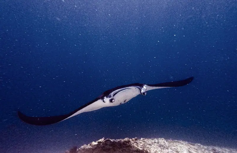
Taka Makassar and Manta Point appear close together on some Komodo boat routes. The first name identifies a tidal sandbar and its nearby water. At Manta Point, guides go looking for manta rays in a separate area and may plan a guided drift with pickup by boat. Similar names add another opportunity for confusion. A reference to Karang Makassar on a dive map can be about the nearby reef or manta site. An itinerary can include time on dry sand or a guided reef swim, then take a separate run to the manta habitat if the route and conditions allow.
Crews may be able to move the order of two water stops for tide, light or current. That is especially helpful if the reason for including Taka Makassar is the view above water. A manta-focused trip needs a separate stop at Karang Makassar, with time on site for the guide to assess entry and the crew to pick swimmers up again. An itinerary photo of a ray next to a sandbar title and a line about snorkelling cannot tell you what guided time is planned at each location. Sightings depend on wildlife and conditions.
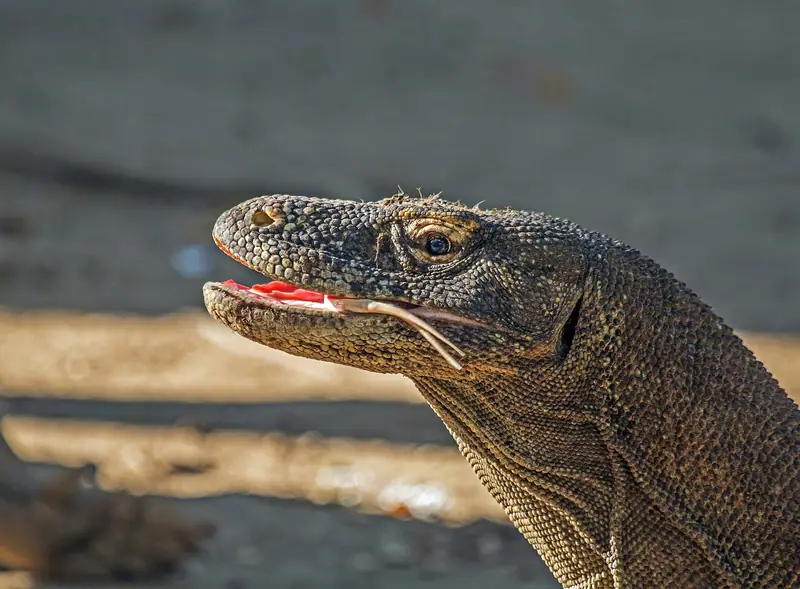
Taka Makassar is also distinct from Pink Beach on Komodo Island. Pantai Merah is part of the island’s coast, framed by hillside behind the water. Taka Makassar is low and exposed, and boat crew may change the way people access it from one visit to another. A beach landing gives a group a shore stop even when rising water covers most of Taka Makassar. The sandbar and a regular beach respond to the tide differently. This is especially useful if some people want to walk and others want to stay in the water.
Snorkelling at Taka Makassar
At the briefing on the boat, the guide sets the area swimmers can use, the way they enter and the place where they will be collected. Know where you will enter, whether you stay in one area or move with the water, who is watching you and where you come out. A bright patch may indicate sand or shallow water. Surface colour doesn’t establish the current or make the edge of the reef easy to cross. On a water stop with uncertain conditions, use the crew’s directions and stay in the area it has chosen. See the Komodo snorkelling guide for how to compare a sandbar entry with a beach or an open-water drift.
A passenger uncomfortable with swimming can opt to stay aboard when the vessel permits it. On a route that continues to a reef swim, the vessel may follow the group for pickup. Shaded seating matters if part of the group will stay aboard for that stop. Where the crew plans to land people, find out whether that means a dry step, a tender or a wade, and how you’ll make the same transfer on the way back. A boarding plan that suits you at a pier can be a different task at a sandbar with moving water.
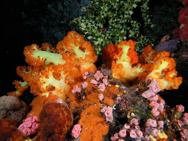
Keep fins away from coral and give animals room. The park requires visitors to leave sand, coral and other physical material undisturbed unless they have written permission. The sandbar has no permanent shade structure. Bring your own sun protection, take it back aboard, and agree on a return signal with the crew before you spread out.
Before booking the sandbar
The order of stops tells you which leg brings you to Taka Makassar. Conditions at the sandbar depend on the tide when the boat gets there, which may be hours after leaving the pier. A timed entry at a park landing can make the order harder to move. Reordering the flexible reef stops is easier when the sail between stops is short. On a day trip from Labuan Bajo with several landings, sailing time and the return deadline can leave little room to wait for lower water. For an overnight trip the itinerary day matters as much as the order. Some multiday routes cover the southern islands first and reach the central reef sites on a later day.
Visitors who want to walk on the sand have the best chance when the itinerary reaches the site near low water, when the exposed area is largest. Swimmers need a suitable current, an entry the guide can supervise and a pickup the boat can manage. A day with exposed sand may still be unsuitable for a reef swim. If your passengers have different priorities, agree together whether waiting aboard is worth it or whether a coastal beach makes an easier shared stop.
Tide height and current
Tide height helps tell you whether you will see a strip of sand. Current describes how water is moving around it. Low tide can expose enough sand for a short walk while the guide still judges some nearby water unsuitable for swimming. Wind and waves also affect whether a small boat can transfer you onto the exposed sand and how the main vessel can follow swimmers away from the landing. Use the platform, route and pickup the crew explains when it can see conditions at the site.
Use the estimate for arrival at the sandbar and the tide reference the boat uses there. The Labuan Bajo departure time by itself tells you little about exposure. A prediction set to a different location can be useful as background, but the local crew chooses when it can make a dry landing. Boat itineraries in the park normally use Central Indonesia Time, or WITA, the same time zone as Labuan Bajo. That’s especially worth doing if you’ve copied a tide chart into a personal calendar while planning the trip from another time zone. The relevant comparison is between the vessel’s route and the conditions at Taka Makassar on your visit date.
When crews swap stops
If a captain expects to reach the sandbar late while the tide is coming in, a guide might put the sandbar first and the manta stop second. When the tide is already high, the captain could carry on to Manta Point if conditions there suit the group. That change can be fine for somebody who mainly wants to snorkel. On a falling tide a later visit could leave exposed sand. If the boat cannot move the stop, a beach landing elsewhere is the practical shore option. Check the time trade before committing, especially if the boat must make a timed entry at Padar or return to Labuan Bajo by a set time.
Good to know
Questions about Komodo National Park
Is Taka Makassar visible at high tide?
The dry area shrinks as the water rises and may be submerged. The sight you get depends on the tide at the expected arrival, which can be well after your boat leaves Labuan Bajo.
Can I get onto the sandbar without swimming?
The boat may stay offshore and use a tender, or skip a landing if the transfer cannot be made safely. Tide, clearance under the vessel, waves and crew instructions can all affect whether non-swimmers can get onto the bar.
Are Taka Makassar and Manta Point the same stop?
Taka Makassar is the tidal sandbar. Nearby Manta Point is an open-water wildlife stop, where the crew may organize a drift. A listing that names both may include two separate stops, each with its own time for gearing up and getting back aboard.
Is Taka Makassar good for first-time snorkellers?
Suitability depends on the crew's assessment of the current, entry and pickup. Indonesia Travel identifies this as open water. A guide chooses whether to use it for a swim and where the boat will pick people up.
Can I take sand from Taka Makassar?
Leave the sand and any coral fragments where you find them. The national park prohibits taking them without written permission.