Start in Labuan Bajo
- Labuan Bajo ferry terminal. A general waterfront reference. Confirm the meeting pier for your tour. source
- Komodo International Airport. Flores airport for Labuan Bajo. source
- Loh Buaya visitor area, Rinca (approximate location). Centre of the mapped visitor area, near the ranger landing. source
- Loh Liang, Komodo Island. Ranger area for the Komodo Island dragon walk. source
- Padar viewpoint. Viewpoint on the southern ridge above the landing. source
- Pink Beach, Komodo Island (approximate location). Centre of the mapped beach on Komodo Island. source
- Kelor Island (approximate location). Hill and beach near Flores. The pin represents the island. source
- Kalong (Koaba) near Rinca (approximate location). Mangrove island near Rinca. The pin represents the island. source
Map data © OpenStreetMap contributors (ODbL)
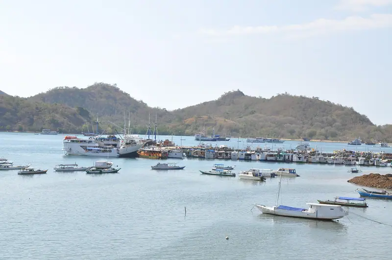
Begin on Flores, at the east of the map. Labuan Bajo’s ferry terminal is a reference point for the mainland waterfront. If you are arriving by plane, the airport is inland and you will meet the crew at an address it specifies. Download the departure pin from the operator before the morning of your boat, especially if you expect to walk from a room near the harbour. The arrival guide covers flights and transfers into town.
From the harbour, a route to Rinca is a different ride from one to the west side of the map. Loh Buaya is Rinca’s visitor area and ranger stop. It occupies a valley reached from the water. The pin is the centre of the mapped visitor area, where the trees and buildings begin after the approach, and should be used to identify the area on an itinerary. Loh Buaya is Rinca’s ranger landing. An itinerary naming only Rinca might also mean a transfer elsewhere on the island or a pass along the coast.
Compare straight-line distances
| Destination | Approximate distance by air | Activity or use |
|---|---|---|
| Komodo International Airport1 | 2 km | Arrival on Flores |
| Kelor Island2 | 9 km | Hill and beach |
| Kalong (Koaba)3 | 17 km | Dusk viewing from the boat |
| Loh Buaya, Rinca4 | 25 km | Ranger station and wildlife walks |
| Padar viewpoint5 | 38 km | Ridge walk from the south landing |
| Loh Liang, Komodo Island6 | 41 km | Ranger station and wildlife walks |
| Pink Beach on Komodo Island7 | 41 km | Beach and reef |
These are direct distances between points, using a rounded great-circle calculation from the same mainland reference. A route near Flores can stay out past sunset if it waits at Kalong. A day covering Padar, Komodo Island and the reefs can involve an early start. A tide-sensitive landing may require a different approach or a wait offshore. Use the captain’s schedule for sailing times.
The two farthest places in the table have a similar straight-line distance from the harbour. They’re on different parts of Komodo Island, with different approaches around the coast. That matters because a boat has to spend time reaching each, even if the distances from town look the same. If your outing advertises both the beach and the ranger walk, look for separate lines on the working schedule and see how long each landing lasts. The day-trip guide compares shared routes and private boat choices.
Identify the island stops
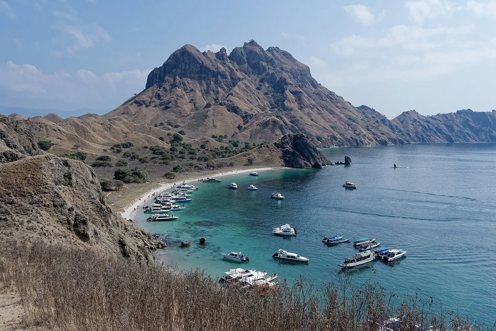
Padar. The pin is for the ridge viewpoint, inland from the southern landing. Allow time for the walk up and back. The high view looks across more than one bay. A photograph showing one beach may have been taken from the ridge or from a different stop on the boat later that day.
Loh Liang. This is the usual Komodo Island station for the dragon walk. From the bay, follow the ranger ashore. Add time for a jetty transfer and briefing before applying any published route estimate. Seeing the destination named in the itinerary helps when the operator sells several different “Komodo” trips.
Pink Beach on Komodo Island. A beach stop and the ranger visit are two different parts of the island itinerary. Long Beach, also called Long Pink Beach, is on Padar. Pantai Merah is the pink-sand beach on Komodo Island. A transfer onto sand requires different preparation from a pier and a trail.
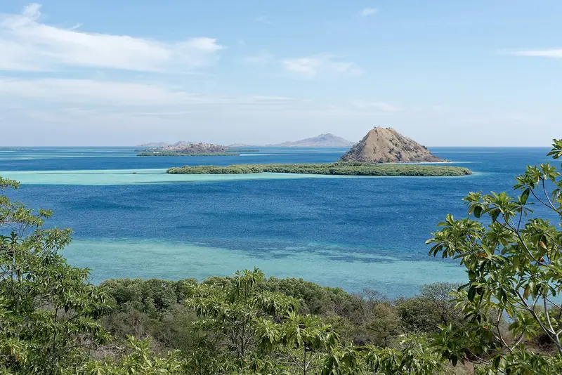
Kelor. This little island nearer Flores can be part of a short outing as well as a longer route. It has an uphill viewpoint and a shore stop. Check the approach from the boat and the time the crew gives you for the climb.
Kalong. Boats coming for the mangrove view wait offshore around dusk. Some schedules use the mangrove island near Rinca. A route with a similar place name elsewhere should give you the intended anchorage. See the Kalong sunset guide for questions about how that stop works on a return boat or an overnight trip.
Identify the water stops
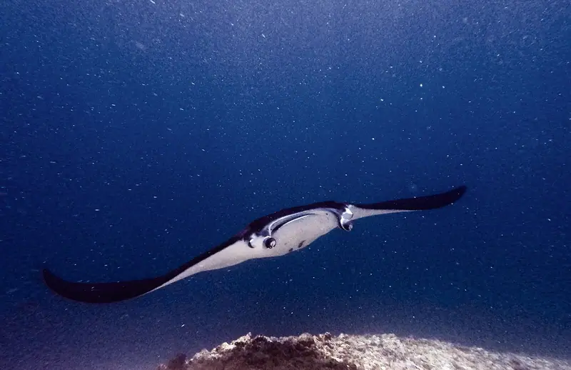
The manta sites include central Karang Makassar and Mawan, plus Manta Alley farther south. A boat can use Karang Makassar and still offer different activities there. A dive and a guided surface swim have different entries, briefings and pickups. The name of a reef is more useful here than a single point. A drift or a position that the boat can hold depends on what the crew sees at the water entry.
At Taka Makassar the exposed sand shifts with the tide. Tide determines whether the sandbar has exposed sand. If the water is too high when the boat gets there, it may become a stop seen from the deck. An itinerary can combine the nearby reef and sandbar in one line even when it gives them separate times. A sandbar landing can be skipped while the manta swim still goes ahead, or the reverse. Each has a different potential reason for changing.
Mark your itinerary
Copy the seller’s sequence next to the map and circle the activity that matters most. Mark where you step on land, where you use a tender and where you’d enter the water from the boat. Use the landing names to distinguish Rinca from Komodo, and note whether an anchor stop happens at a particular time, such as dusk. Add the proposed boarding and return times in Labuan Bajo.
A late departure can shorten the time at landings. A changed tide can also move a beach stop or leave it as a deck view without affecting a more sheltered visit. For onward travel, leave time between the planned harbour return and check-in for unloading and the transfer. A route’s return time normally describes reaching the pier.
Read a route in the order the boat visits the pins. On an overnight trip, note which landings happen before the boat anchors for the night and which happen the following morning. For each walk ashore, check where the boat will collect you. At a ranger station the pin identifies the visitor area, so keep the crew’s directions alongside the park map if you need to find your way back to the vessel before the rest of your group. Save the boat name and collection point with your map if your party plans to split up at the landing.